Dana Müller · 2 November 2026
Student Teams in Arctic Outposts Refine Sea Level Forecasts Through Permafrost Data Collection
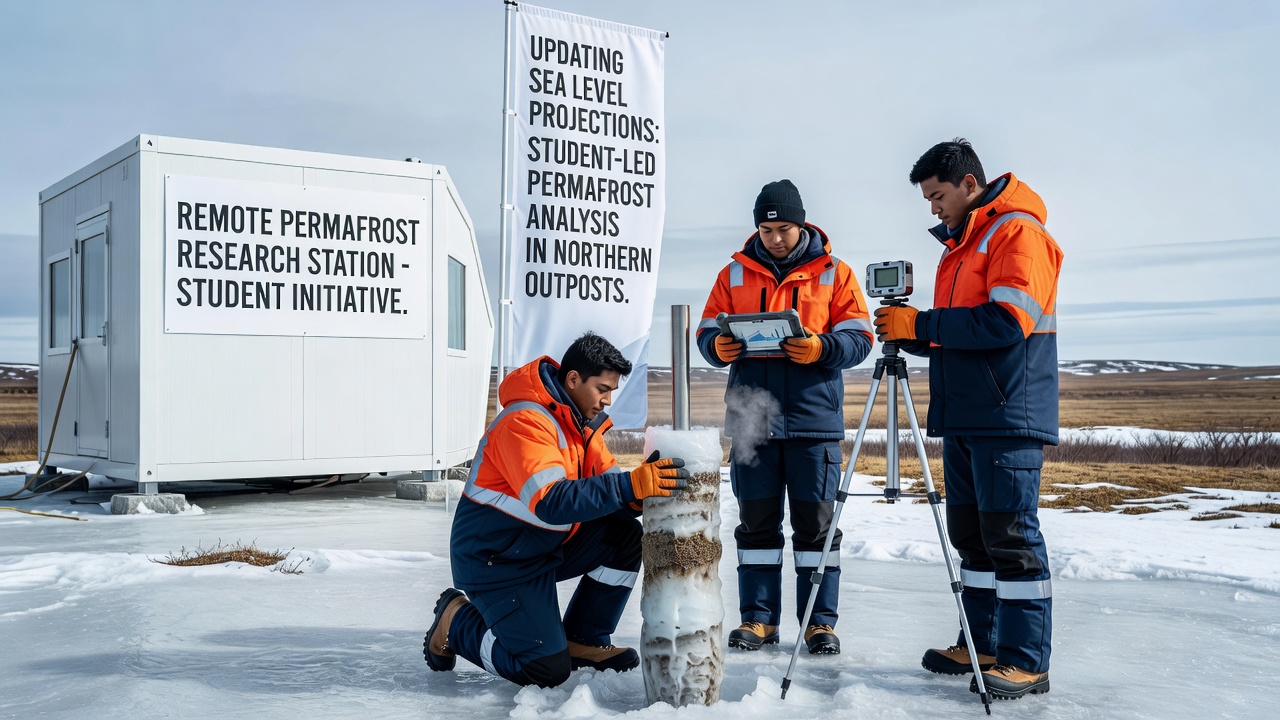
Student researchers from multiple universities have established seasonal camps in isolated northern locations across Alaska, northern Canada, and Siberia, where they extract permafrost cores and measure active layer depths on a regular schedule. These efforts feed directly into climate models that project future sea level changes, since thawing permafrost releases stored carbon that amplifies global temperatures and accelerates ice sheet melt.
Sampling Methods and Data Flow
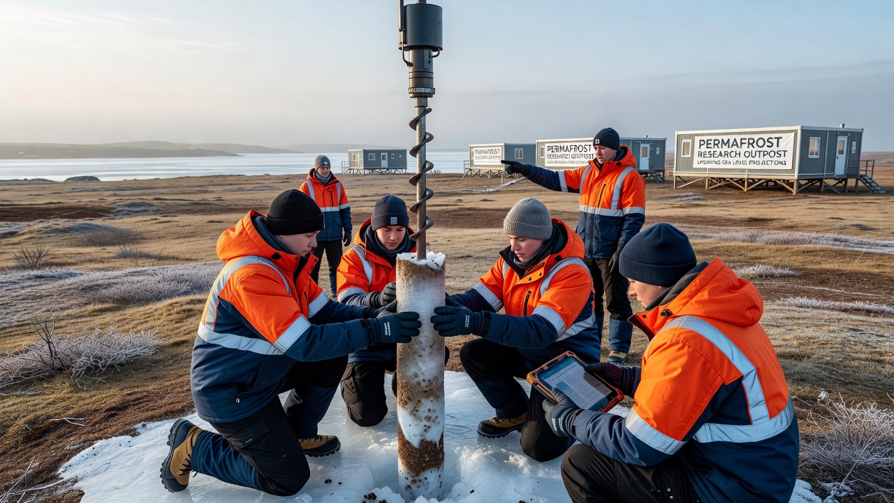
Teams drill shallow boreholes, log temperature gradients, and analyze soil carbon content before shipping samples to central laboratories for isotope testing. The resulting datasets reach modeling groups within weeks, allowing adjustments to emission scenarios that previously relied on satellite estimates alone. One study released in late 2025 showed that incorporating ground measurements from these outposts increased projected carbon release rates by 18 percent compared with earlier versions.
Remote Locations and Logistics
Outposts near the Mackenzie River delta and on the Yamal Peninsula operate with limited infrastructure, requiring students to manage solar power arrays, satellite uplinks, and supply caches flown in by small aircraft. Data loggers run continuously through winter, recording thaw rates that spike during brief summer windows when ground temperatures rise above freezing for longer periods each year.
Integration With Global Models
Climate centers now blend these field measurements with outputs from the Community Earth System Model and similar frameworks. The added detail helps narrow uncertainty ranges around sea level rise estimates for 2100, particularly the contribution from thermal expansion and land ice loss triggered by permafrost-derived greenhouse gases. According to NOAA climate reports, northern latitude observations have already shifted median projections upward by several centimeters in some scenarios.
November 2026 marks the scheduled release of an updated ensemble that includes three additional years of student-collected permafrost profiles from six new sites. Modelers expect these inputs to refine the timing of peak carbon emissions from thawing soils and their downstream effects on ocean temperatures and ice dynamics.
Training and Continuity
University programs rotate cohorts each summer so that experienced students train newcomers on consistent sampling protocols. This approach maintains data quality while expanding coverage to previously unsampled valleys and coastal plains where permafrost degradation appears most rapid. Records from these locations now contribute to databases maintained by the International Permafrost Association, which distributes standardized formats to research teams worldwide.
Regional Comparisons and Feedback Loops
Measurements from Canadian sites show faster active layer deepening than those recorded in Siberian transects, a pattern linked to differences in vegetation cover and snow insulation. These variations enter regional climate simulations that ultimately scale up to global sea level calculations, revealing how localized thaw can influence distant ice shelves through atmospheric circulation changes.
Researchers cross-reference student samples against older Soviet-era cores and newer drone surveys to detect acceleration trends. The combined record indicates that certain high-carbon yedoma deposits are thawing at rates exceeding prior estimates, prompting revisions to the carbon budget terms used in sea level projection modules.
Conclusion
Student-led permafrost sampling continues to supply ground-truth data that refines the inputs driving sea level forecasts. Ongoing campaigns through 2026 and beyond will test whether current model adjustments hold as more sites come online and longer time series become available. The process links field observations directly to improved projections without relying solely on remote sensing.