Bianca Sullivan · 21 September 2026
Polar Classroom Initiatives Equip Participants to Track Ecosystem Shifts via Direct Field Measurements
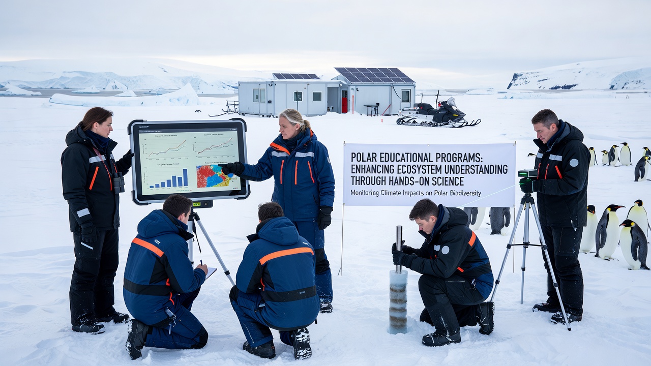
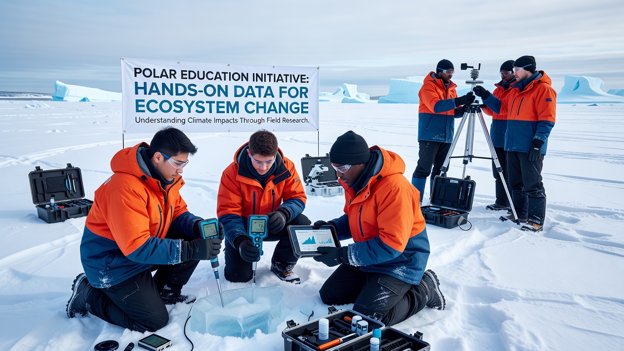
Educational programs operating in Arctic and Antarctic locations combine classroom instruction with extended field sessions where participants gather temperature readings, species counts, and soil samples; these activities supply ongoing datasets that researchers use to document changes in permafrost thaw rates, marine food webs, and terrestrial vegetation patterns. Institutions coordinate with national polar agencies to place secondary school groups and university teams at established research stations, where they follow standardized protocols that ensure measurements align with long-term monitoring networks. Participants learn to operate portable sensors for air and water temperature, deploy camera traps for wildlife documentation, and record phenological events such as flowering times or migration arrivals. Data collected during multi-week deployments feed into open repositories maintained by organizations including the National Science Foundation and the Australian Antarctic Division, allowing scientists to cross-reference student observations with satellite records and automated sensor arrays.Structure of Field-Based Learning Modules
Programs typically begin with preparatory workshops held at partner universities in Norway, Canada, and New Zealand; these sessions cover safety procedures, equipment calibration, and data quality standards before teams travel to polar sites. Once on location, groups divide into teams that rotate through sampling stations, ensuring continuous coverage across diurnal and seasonal cycles. In the Arctic, students at stations near Svalbard have compiled multi-year records of sea ice thickness alongside chlorophyll concentrations in adjacent fjords, while Antarctic teams at stations on the Antarctic Peninsula have documented shifts in penguin colony sizes correlated with local sea surface temperatures. Each dataset undergoes review by on-site mentors before upload, which maintains consistency across different cohorts.Integration with Broader Research Networks
Student-collected measurements supplement professional efforts by increasing spatial resolution in areas where permanent instruments remain sparse. For instance, handheld spectrometer readings taken along transects have helped refine models of algal bloom timing that satellite instruments capture only at coarser scales. Programs schedule repeat visits to the same grid points each season, generating time series that reveal incremental changes rather than isolated snapshots. One ongoing initiative links measurements taken in September 2026 with historical baselines from 2010 onward, allowing analysts to quantify acceleration in certain parameters such as active layer depth in permafrost soils. The resulting datasets appear in peer-reviewed publications that cite both student contributions and professional oversight.