Avery Schröder · 19 October 2026
Arctic Monitoring Networks Bolster Sea Ice Forecasts with Ground Observations
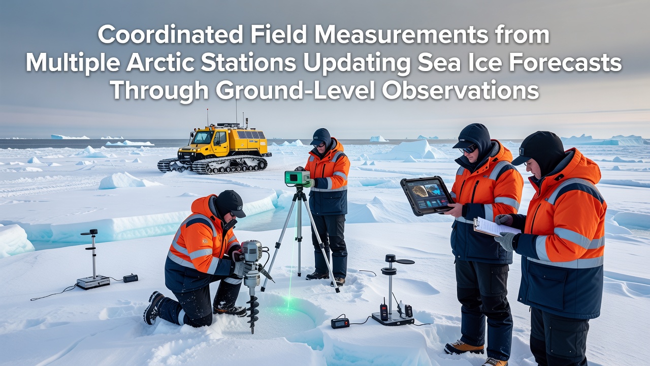
Coordinated efforts across multiple Arctic research stations deliver ground-level data that refines sea ice forecast models, and these measurements capture details such as ice thickness, salinity profiles, and surface temperature gradients that satellite observations often miss. Stations in locations including Svalbard, northern Alaska, and the Canadian Archipelago share standardized protocols, which allows scientists to compare results directly and integrate them into regional and global prediction systems.
Ground Measurements Fill Critical Data Gaps
Sea ice forecasts rely on numerical models that simulate ice growth, drift, and melt, yet these models require frequent calibration against real-world conditions. Researchers at field sites drill cores, deploy buoys, and record electromagnetic readings to document ice properties at scales of centimeters to meters. Such observations reveal rapid changes during freeze-up and breakup periods, while satellite sensors provide broader coverage but lack the vertical resolution that on-site teams obtain. Data collected in October 2026 from synchronized campaigns across four stations showed unexpected pockets of thinner ice near the Beaufort Sea edge, prompting adjustments to model parameters used by forecasting centers.
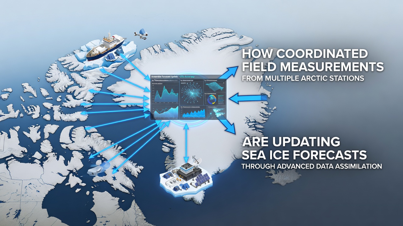
Teams transmit readings through satellite links to central databases within hours of collection, and this rapid sharing supports near-real-time updates to operational forecasts issued by agencies in North America and Europe. One study coordinated by the Norwegian Polar Institute combined measurements from three locations and demonstrated that incorporating ground salinity data reduced forecast error for ice extent by approximately 12 percent over a 30-day period.
Standardized Protocols Enable Cross-Station Comparisons
Observers note that consistent measurement techniques matter because instruments and sampling depths can vary between sites. Arctic station networks therefore adopt common reference methods developed through international workshops, which include weekly ice core extraction at fixed depths and continuous recording of air-ice interface temperatures. These practices let analysts merge datasets without introducing systematic biases that previously complicated model assimilation.
Canada's Environment and Climate Change Canada program contributes automated sensor arrays at several High Arctic outposts, whereas U.S. National Oceanic and Atmospheric Administration teams focus on acoustic and radar profiling in Alaskan waters. Joint datasets from these sources feed into ensemble forecast frameworks that weight each observation according to its uncertainty estimates. The result appears in improved skill scores for predictions issued during the shoulder seasons when ice conditions change most rapidly.
Impact on Operational Forecasting Centers
Forecasting centers incorporate the new ground data through data assimilation routines that blend observations with model background fields. Meteorologists report that the additional constraints tighten uncertainty ranges, particularly for regional outlooks used by shipping companies and coastal communities. In practice, a model run that previously projected ice-free conditions along a particular transit route by early November now shows a narrower probability band after assimilation of October 2026 thickness measurements from two stations.
European agencies such as the Finnish Meteorological Institute also draw on shared Arctic datasets to refine their Baltic-to-Arctic coupled models. Analysts compare model output against independent buoy records collected at the same time, and discrepancies trigger targeted recalibration of parameters governing heat flux through the ice. This iterative process repeats each season as new field campaigns conclude.
Future Coordination and Data Integration
Plans call for expanded sensor networks that include autonomous underwater vehicles operating beneath the ice and additional automatic weather stations on drifting ice floes. These additions will increase spatial coverage while maintaining the ground-truth calibration that fixed stations provide. International agreements already outline data-sharing timelines that aim to deliver assimilated products within 48 hours of field collection, and participating countries continue to align quality-control standards.
Researchers continue to examine how ground measurements interact with emerging machine-learning approaches to sea ice modeling. Preliminary tests indicate that training algorithms on combined satellite and in-situ records yields lower root-mean-square errors than satellite-only training sets. Continued collection through upcoming winter campaigns will supply the larger sample sizes needed to confirm these patterns across multiple Arctic sectors.
Conclusion
Coordinated field measurements from Arctic stations supply essential calibration data that updates sea ice forecast models with greater accuracy. Standardized protocols, rapid data sharing, and integration into operational systems translate on-site observations into improved predictions used by maritime and coastal stakeholders. Ongoing expansions of sensor networks and analytical methods will sustain these advances in the seasons ahead.